Day3: July7, Fengning-Tucheng-Kulongshan-Datan, 80km
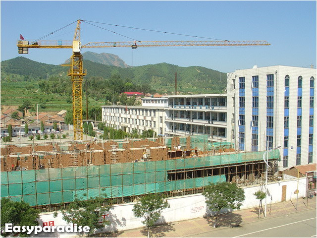
Today' distance was shorter, but the sun was still parching. The road to Tucheng,which means town of dirt, was dusty and bumpy. Alone the road some people were selling agate stones digged nearby. There was a grove of trees, which was named “Friendship Grove of China and Japan.”

Fengning County

Friendship Grove of China and Japan

They said it’s a kind of agate
There were many singing grasshoppers in the bush, big and fat. I don’t have much time to shot those ugly guys. If you are curious about them, I’ll post them after I finish all posts about this trip.
We had an big beef meal in Kulongshan, a small town between Tucheng and Datan. The proprietor of the restaurant told us the steep slope ahead that up to the “Second Stair” was even a challenge to motorbikes…Dear me! Why the toughest sections always appeared in the ends of everyday——when we were out of energy. Fortunately, we always faced them with full stomaches.
You may wonder what “Second stair” is. Well, it’s something about Chinese geography. When you stare at a China’s topographic map, you can easily divide China’s territory into three parts. The first part contains the highest altitude regions, including Tibet and Qinghai province, that is the “First stair”. The east part is the lowest plain or hills. This is the “Third stair”. And the “Second stair” is the mid-altitude part between them. “Bashang” means “the top of the second stair”. That is to say, we were going to climb the second stair from the first stair. So we had to conquer the most horrible slope. The slopes that we rode previously were nothing compared with this.

At the foot of the “Second stair”

Looking from the slope

Flowers and slope

It’s really a long slope…
Now we had standed on the top of the “Second stair”. It’s the end of the toughest part, for there were no more long and steep slops in future days. Chasing the beautiful sunset, we arrived at Datan and lived in a farm house. Datan is also a part of the so called Bashang. People who do not want to go further often enjoy grassland here. But here was not our final destination.

The end of the 9km slope. 13 people had died in accidents when they drived down.

Hi, I’m An Bo

Sunset of grassland

sheep
Day4, July 8, Datan-Yuershan-Caoyuan-Duolun, 107km
The grassland of Datan has the reputation of “No.1 Grassland” north of Peking”. Although we had to go on riding today, I still want to see more. I got up early, took my bike and went out. What about An? He just prepered sleeping to photography.
Here are some photos of Datan’s grassland.

Morning of Datan Grasslands

Morning of Datan Grasslands

Morning of Datan Grasslands

Morning of Datan Grasslands

Morning of Datan Grasslands

Flowers on grassland

Myself

Seeing from a small hill

I hadn’t posed well when the shutter started~~
An Bo just woke up when I was back. We packed our packages, had breakfast and went Duolun.
It’s still a hot day. Maybe I ate too much in the morning, I got collywobble. After taking some pills, I felt better.
We rode before the wind today. The road is in high quality and no many slopes. However, riding on vast grassland could be tedious. The road was long and straight without any other landscape but grass. What worse, we couldn’t find any shadows under the sunshine! Because there were no trees on the flat grassland. Sometimes we might feel the road was endless.
A lot of larks were singing in the grass. An Bo recorded their beautiful voices by cell phone for his father, who was crazy about feeding larks.
After we had rode a long time, we realised that we were not going the planned path. We don’t know which way it was but sure it was correct way to Duolun as the signspots had showed. So the line Day4 on the map is only the POSSIBLE way, might not be actual path we’ve covered.
We finished today’s task in only 7 hours. Duolun is a county of Inner Mongolia. We had a big Monglian meal that night, including milk tea, finger mutton, dried milk cake and Mongolian noodles. The hotel was fine but economical, and the night of “Second stair” was cool. That was the most comfortable night since we came out.

My “chocolate legs”

Look at the flag, we rode before the wind

Road on grassland plain

Road on grassland plain

Road on grassland plain

We Arrived at Duolun
Bike Tour - Bashang Grassland Ⅰ
Bike Tour - Bashang Grassland Ⅱ View Map
Bike Tour - Bashang Grassland Ⅲ View Map
Bike Tour - Bashang Grassland Ⅳ View Map
Bike Tour - Bashang Grassland Ⅴ View Map
Bike Tour - Bashang Grassland Ⅵ View Map1 Map2


No comments:
Post a Comment